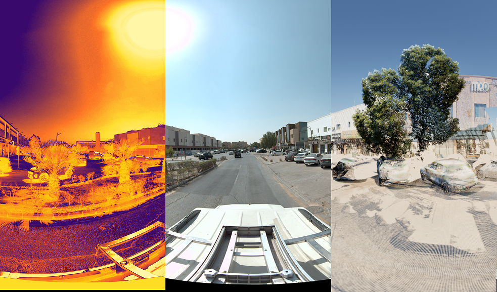
01 / Mobile LiDAR
Vehicle-Mounted Mobile LiDAR
Our mobile mapping systems combine high-speed laser scanners with GNSS and inertial navigation to capture dense, georeferenced point clouds while driving at normal traffic speeds. Roads, kerbs, signs, poles, bridges, building façades and overhead lines are all recorded in a single pass.
Because data is captured from the vehicle, crews stay out of live traffic and away from hazards, and long corridors can be surveyed in days rather than weeks.
- Dense point clouds
- Traffic-speed capture
- GNSS & INS
- Safer data collection
 Corridor capture