
01 / Detection
Underground Utility Detection & Mapping
GPR sends radar pulses into the ground and records reflections from buried objects, allowing us to locate metallic and non-metallic utilities including pipes, cables, ducts and conduits that traditional cable locators can miss.
Detected services are surveyed and georeferenced, then delivered as utility maps and CAD layers that show location and approximate depth, giving designers and contractors a reliable picture before excavation.
- Metallic & non-metallic
- Pipes, cables & ducts
- Depth estimation
- Utility maps
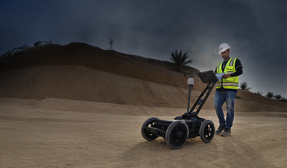 Utility detection


